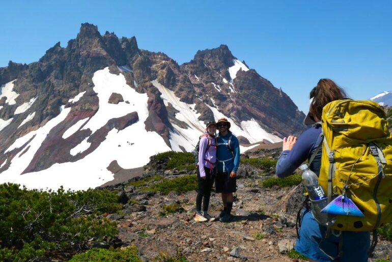
The Tam McArthur Rim Trail is a stunning hiking trail in central Oregon that should definitely be on your to-do list!
In fact, we think that the stunning views make this one of the best hikes in central Oregon.
In this article, we’ll cover everything you need to know about the Tam McArthur Rim Trail.
We’ve gathered our local knowledge of the Tam McArthur Rim here to help you make the most of your visit.
So lace up your hiking shoes and let’s hike the Tam McArthur Rim Trail.
This post may contain affiliate links. We may earn a commission when you purchase products mentioned in this post.
Tam McArthur Rim Trail: Overview
This top-tier trail is one of the best hikes near Bend and in all of central Oregon.
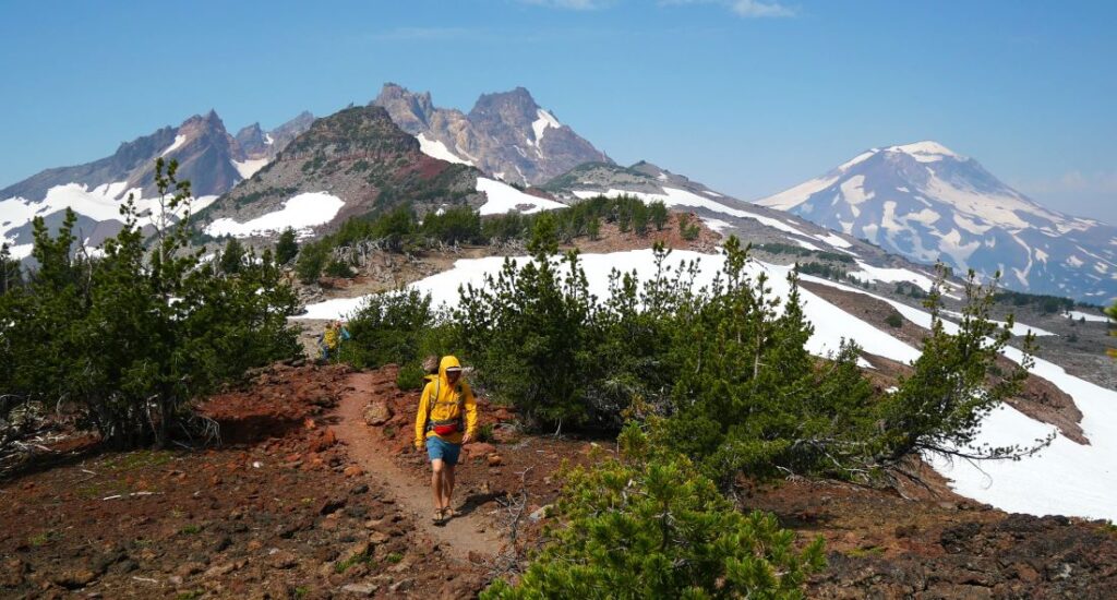
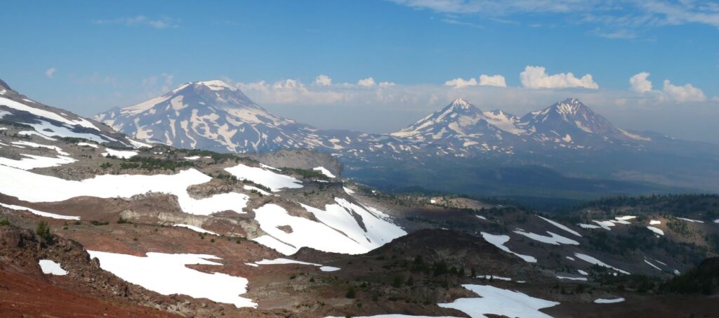
The Tam McArthur Rim Trail offers incredible mountain views of the Cascade Mountain Range with up close vistas of Broken Top, the Three Sisters and Mt. Bachelor.
In addition to these iconic peaks, hikers are also granted sweeping views of central Oregon that can extend for dozens of miles to the north, east, and south.
Tam McArthur Rim Trail at a Glance
- Amazing views of mountains, lakes, and landscapes
- Moderate to difficult trail
- Starts at Tam McArthur Rim Trailhead
- 5 miles round-trip (1,250 feet of elevation gain) to great views
- 10 miles round-trip (2,000 feet of elevation gain) to No Name Lake
- You do need a Central Cascade Wilderness Permit
Tam McArthur Rim Trail Map
Use the map we made below to get your bearings. You can also expand it to open in a new window.
Getting to the Trailhead
Assuming you have a Central Cascades Wilderness Permit (more on permits below), the hike starts at Tam McArthur Rim Trailhead, located next to Three Creek Lake.
Although located in a relatively remote area, the trailhead is about 30 minutes from Sisters and 1 hour from Bend.
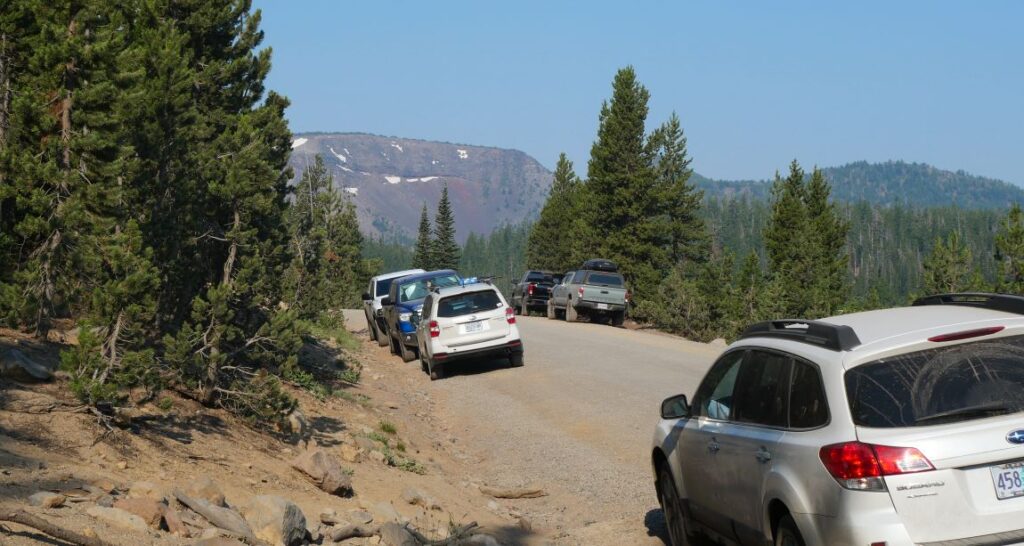
The road to the trailhead is gravel for about 5 miles. However, it was regarded in 2023 to be nice and smooth, making it accessible for most vehicles.
There is no established parking lot, so instead just park on the side of the road by the trailhead.
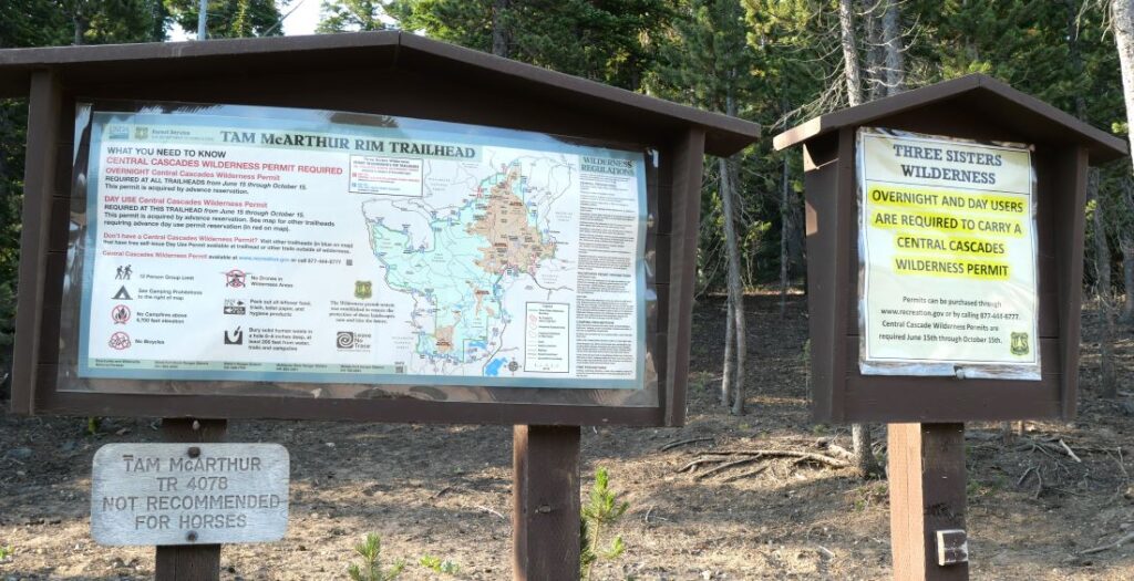
As you arrive, you’ll see the signage at the trailhead.
Hiking the Tam McArthur Rim Trail
Initially, the trail is mostly forested and heads south along the east side of Three Creek Lake where it enters the Three Sisters Wilderness.
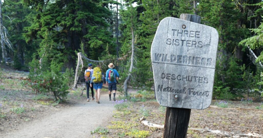
The trail climbs up at a moderate grade, though there are some steep sections.
As elevation increases, you get views peeking through the trees of Three Creek Lake and Tam McArthur Rim.
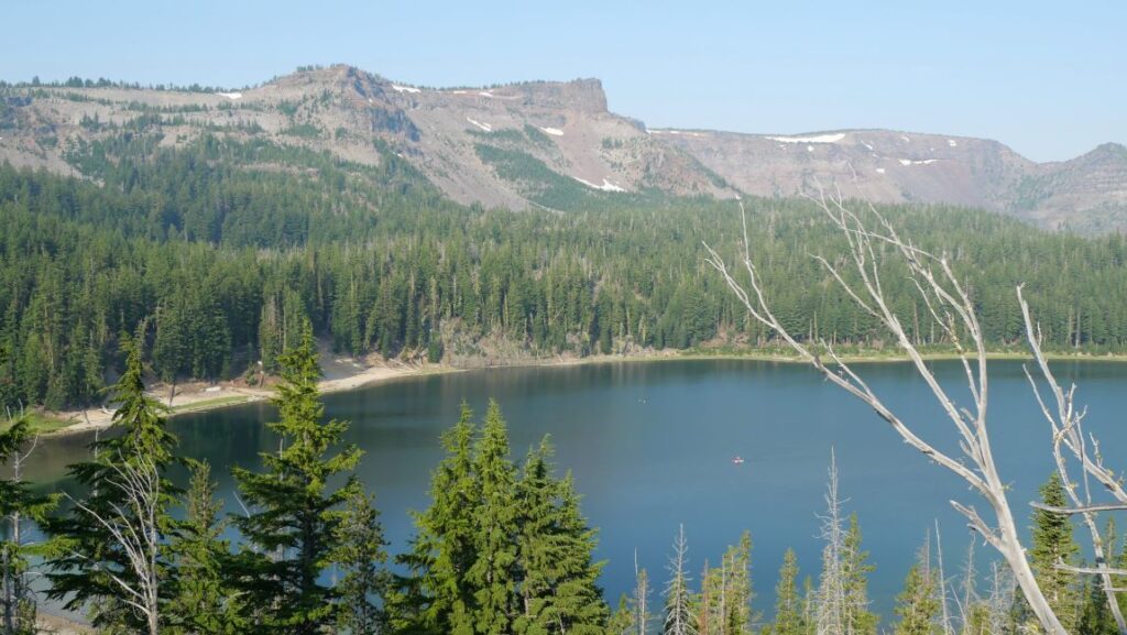
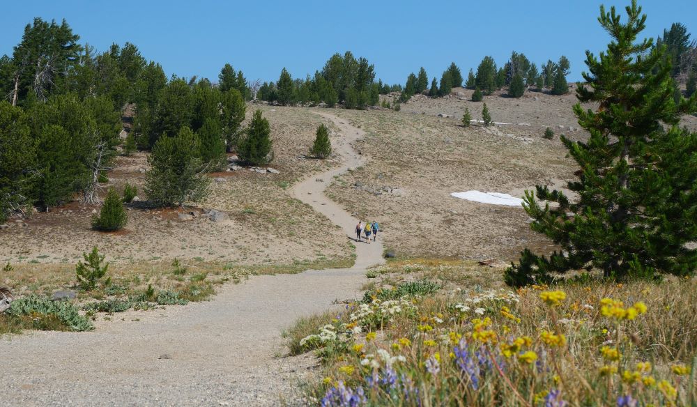
As you climb, the forest becomes more and more sparse, until the majority of the trail is exposed and there is little shade.
Tam McArthur Rim
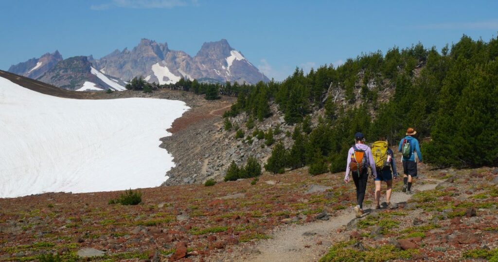
The trail turns west and follows the Tam McArthur Rim, the edge of a plateau that becomes steeper as you go west.
You start to get your first views of Broken Top peaking over the Tam McArthur Rim.
At about 2.5 miles from the trailhead, you’ll find an excellent viewpoint that overlooks Three Creek Lake and Little Three Creek Lake.
This is a great point to soak in the views then turn around and make it a 5 mile round-trip hike.
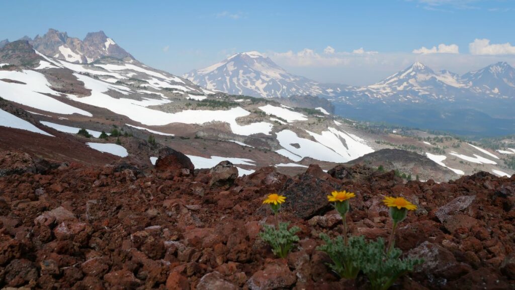
However, if you can, we recommend continuing on. At this point, the trail diverges from the Tam McArthur Rim.
The trail is relatively flat for a bit until following the ridge that leads to the Broken Hand, the highest point along the Tam McArthur Rim Trail at 8,370 feet of altitude.
Broken Hand
From here, you see stunning 360-degree views. To the west, you see the turquoise alpine lake No Name Lake and the rugged Broken Top Mountain.
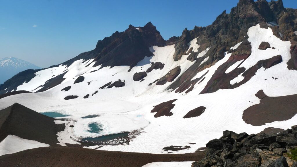
To the north, you see the Three Sisters Mountains, Mount Washington, Three Fingered Jack, and more.
To the south, you see Mt. Bachelor and the Newberry National Volcanic Monument.
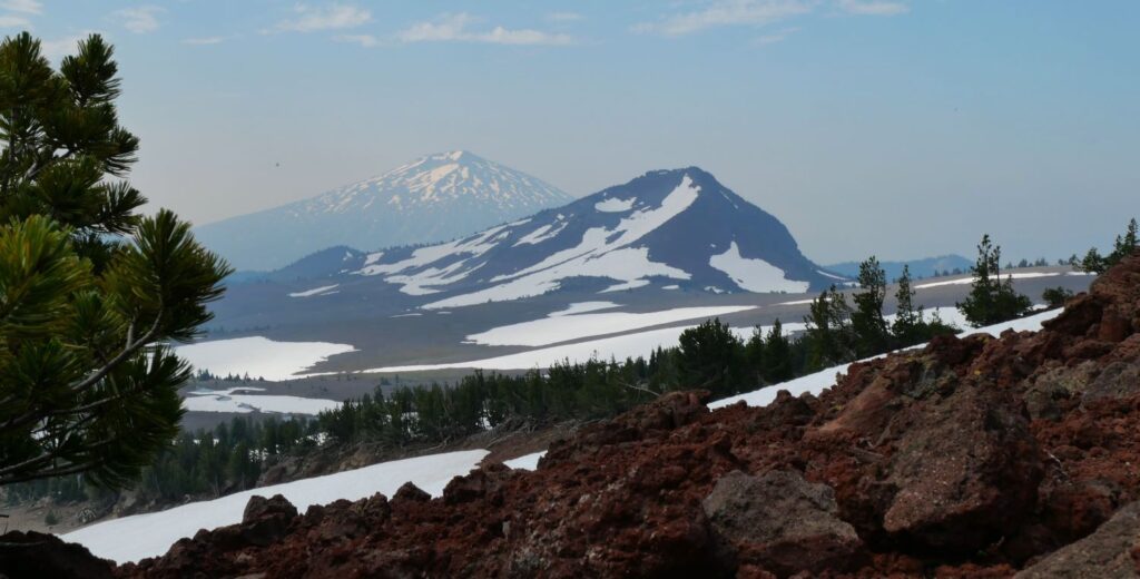
Finally, to the east, the central Oregon high desert blends into eastern Oregon as far as your eyes can see.
No Name Lake
If you have the energy, continue to No Name Lake, which is about 5 miles from the trailhead.
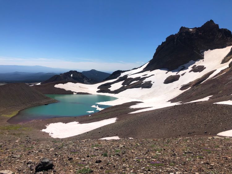
From Broken Hand, descend the half mile to No Name Lake, one of our favorite alpine lakes in Oregon.
The bright turquoise color contrasts with the white glaciers and rugged brown rocks.
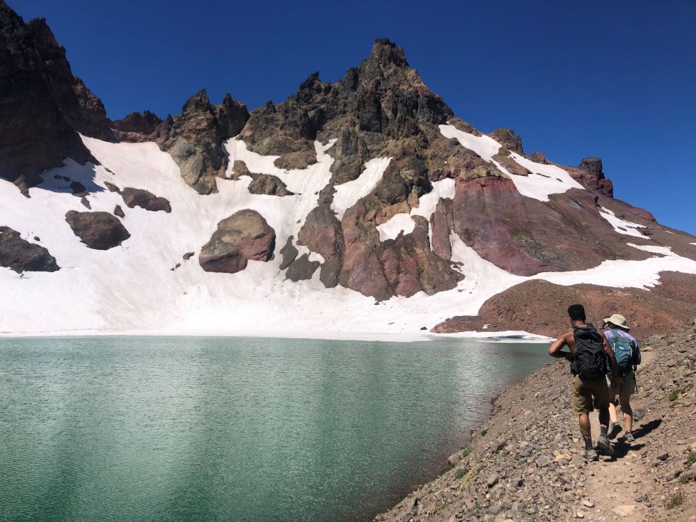
If you dare, brave the frigid water and take a dip!
Know Before You Go
Make sure you plan appropriately for your hike on the Tam McArthur Rim Trail.
Get a Central Cascades Wilderness Permit
You need a Central Cascade Wilderness Permit if you want to park at the Tam McArthur Rim Trailhead and day hike or camp overnight.
The permit is only required between June 15th and October 15th to reduce crowds.
When to Hike the Tam McArthur Rim Trail
Due to the high elevation (6,500 to 8,400 feet), there is snow on the ground for most of the year.
As a result, generally the best time to hike the Tam McArthur Rim Trail is from mid-July to mid-October.
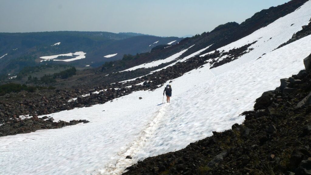
Keep in mind: there will likely be snow on the trail through July and new snowstorms begin in October.
Even in early August, there can be bits of snow on the trail depending on the year, but it should not be significant.
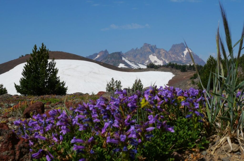
Also, mid-July to early August is a great time for wildflowers!
Check Weather, Road Closures, and Wildfires
For road closures and up-to-date road conditions, the best resource is ODOT’s Trip Check website.
Keep in mind: The road to the Tam McArthur Rim trailhead is closed during the winter.
For historical and active wildfires as well as air quality, check out Watch Duty. Unfortunately, the wildfires have been bad in central Oregon in recent years.
For weather, we like this NOAA weather forecast.
Prepare for Exposure to Sun and Weather
The harsh high desert climate in central Oregon is no joke and this trail is very exposed.
As with anywhere in the high desert, temperatures can range significantly, so pack clothes for all types of weather.
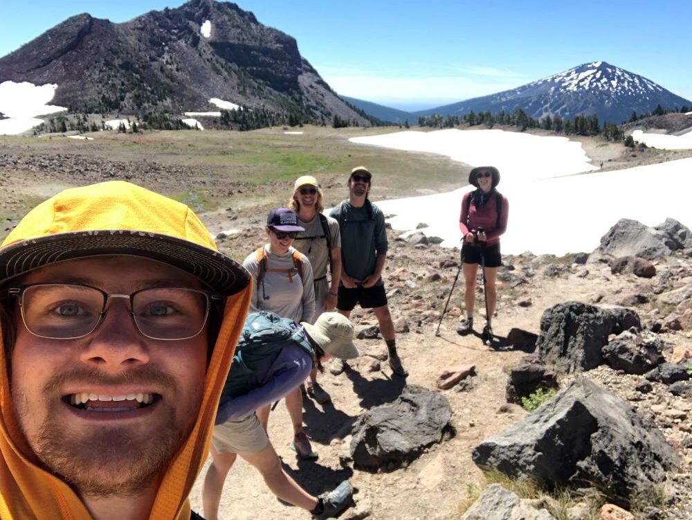
Make sure you have sun protection. We recommend a hooded sun shirt in addition to a hat and sunscreen as needed.
If it’s cold, make sure you have good layers. If there is snow and ice, consider bringing microspikes and hiking gaiters.
Finally, we always recommend a sturdy pair of hiking poles.
Our Other Tips
- Pick up coffee and breakfast or post-hike beer and food in Sisters Oregon
- Swim in Three Creek Lake to cool down after the hike
- Don’t forget your camera!
- Stay overnight at Driftwood Campground or Three Creek Lake Campground
- Check out other ways to hike to No Name Lake
- Check out other things to do in Sisters Oregon
Conclusion
We hope you found this article helpful when planning your hike on the Tam McArthur Rim Trail. This is one of the best hikes near Sisters Oregon.
You might also be interested in other hikes in central Oregon.
Subscribe to our YouTube and follow us on Instagram for more inspiration for exploring the PNW. Happy roaming!

