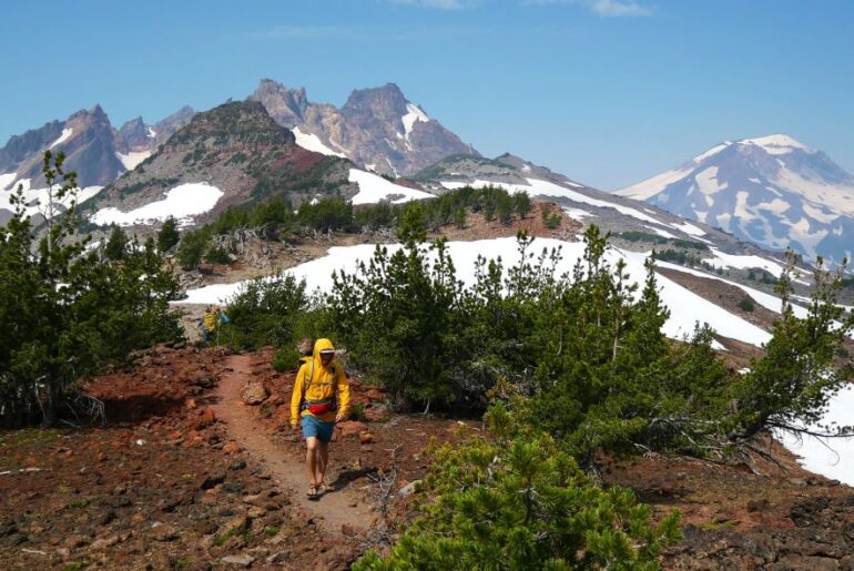
Hiking Sisters Oregon is known for incredible views, wide open landscapes, and a variety of trails. In fact, there are dozens of amazing hikes near Sisters Oregon.
From refreshing waterfalls to mountain views to alpine lakes, hiking near Sisters Oregon has it all!
In this article, we’ll cover the best Sisters Oregon hiking trails that you should have on your radar.
As central Oregon residents, we love these hiking trails in Sisters Oregon dearly, and we’ve gathered our local knowledge here to help you plan your visit.
Lace up your boots, pack the snacks and let’s explore the best of hiking Sisters Oregon!
Hiking Near Sisters Oregon: Overview
It’s no secret that there are incredible hikes in central Oregon to enjoy. From alpine lakes to wide open high desert views, there’s something for everyone.
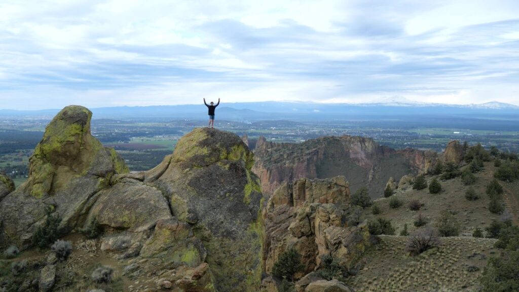
Sisters is positioned perfectly for access to amazing hikes in the Central Oregon Cascade Mountains via Highway 20 and the McKenzie Highway (which is closed November to July).
Additionally, there are some great hikes and waterfalls on the west side of the Cascades along Highway 126 within an hour of Sisters.
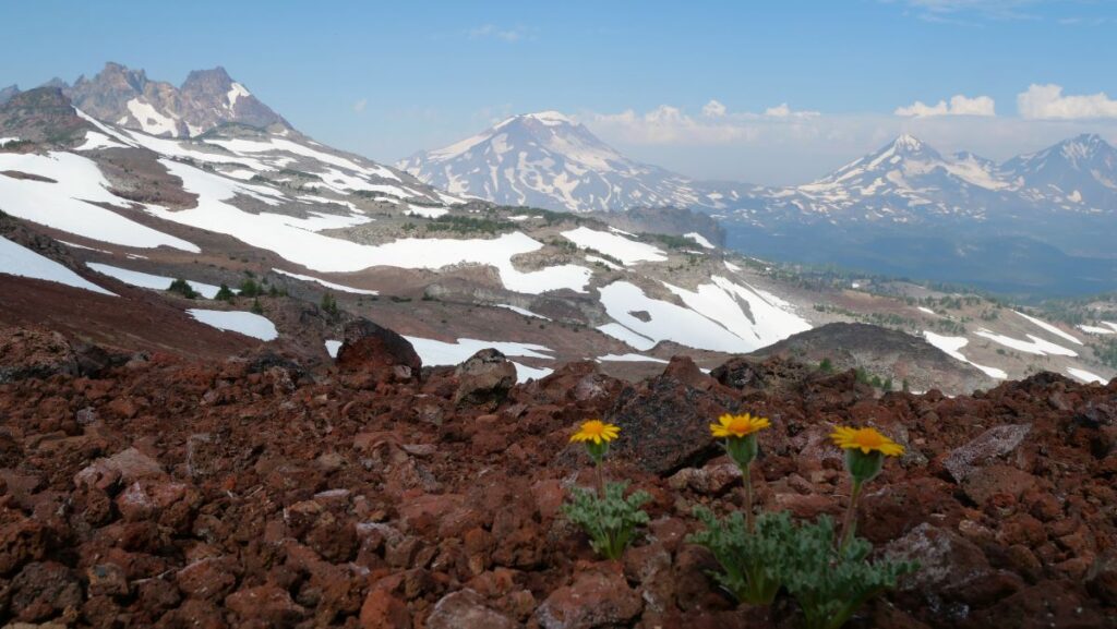
In the table below, we list all of the hiking trails near Sisters Oregon that we cover in detail in this article.
| Hike Near Sisters | Typical Travel Time | Difficulty | Known For |
| Tam McArthur Rim Trail | 30 minutes | Moderate | Up close views of Broken Top and Three Sisters. |
| Smith Rock State Park | 40 minutes | Variable | Incredible rock formations and diverse views. |
| Black Butte Trail | 30 minutes | Moderate/Hard | Expansive 360-degree views of Central Oregon. |
| Black Crater Trail | 20 minutes | Hard | Unique burn zone and impressive views. |
| Belknap Crater | 30 minutes | Moderate/Hard | Rugged lava flows with unique views. |
| Canyon Creek Meadows Loop | 40 minutes | Moderate | Wildflower meadows and views of Three Fingered Jack. |
| Chambers Lakes Basin Trail | 30 minutes | Hard | Alpine lakes and views of Three Sisters mountains. |
| Suttle Lake Loop Trail | 20 minutes | Easy | Pleasant hike around a pretty lake. |
| Scott Trail Glacier Way Trail Loop | 40 minutes | Hard | Lush forests, great views, clear streams, lava flows. |
| Proxy Falls Trail Loop | 50 minutes | Easy | Two refreshing waterfalls. |
| Tamolitch Blue Pool | 45 minutes | Easy | Stunning blue pool and falls. |
| Koosah and Sahalie Falls | 40 minutes | Easy | Powerful turquoise waterfalls. |
There are hard, moderate, and easy hikes near sisters Oregon suitable for all abilities.
Hiking Sisters Oregon Map
Use this interactive map we made to see all the hikes near Sisters mentioned in this article. You can also expand this map to open it in a new window.
To access hikes around Sisters Oregon, you’ll typically take one of four roads:
- Northwest: Highway 20 to Santiam Junction
- West: McKenzie Highway
- East: Highway 126 to Redmond
- Southeast: Highway 20 to Bend
Best Hikes Near Sisters Oregon
From mountain peaks, lava flows, and alpine meadows to pristine waterfalls, forests, and streams, there are so many great things to see while hiking near Sisters Oregon.
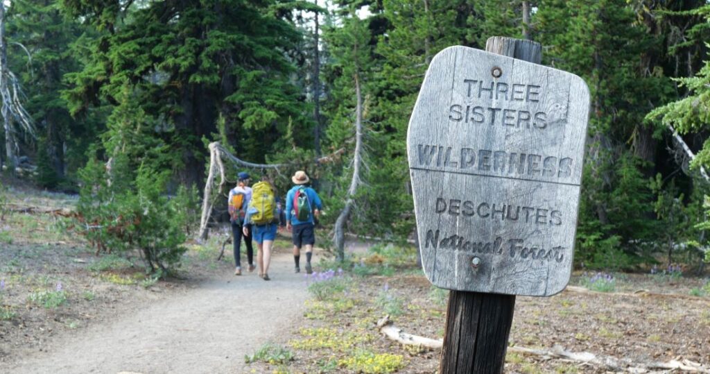
In this section, we’ll cover the best hikes around Sisters Oregon and include helpful information for you when planning your visit!
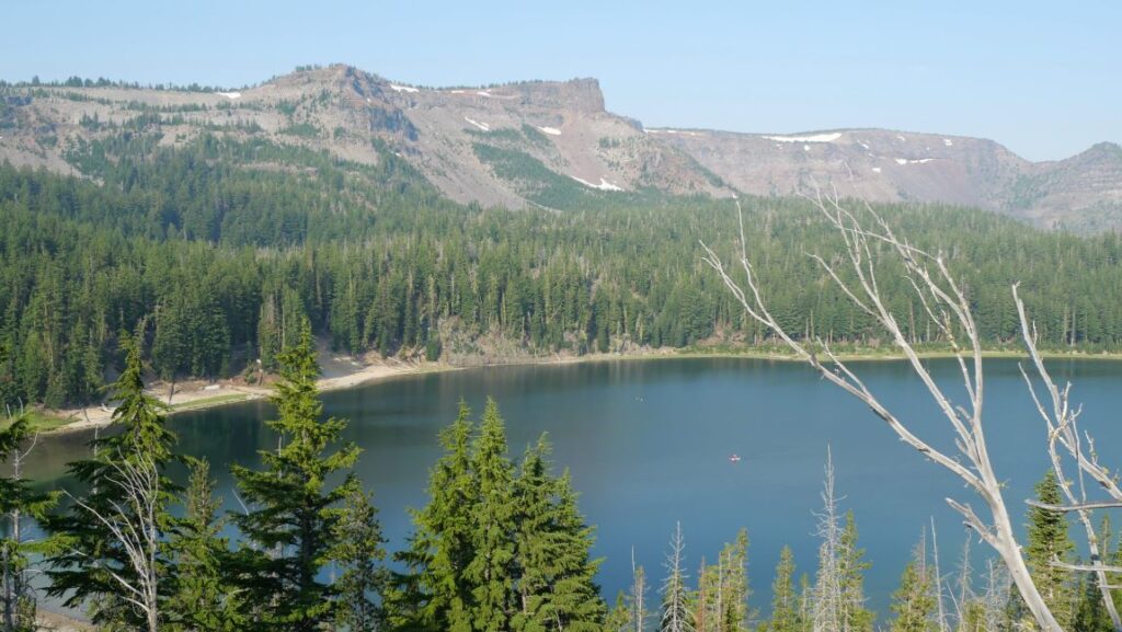
For each of these best hikes Sisters Oregon has to offer, we’ll provide key information to help you plan your visit.
Tam McArthur Rim Trail
The Tam McArthur Tim Trail is one of our overall favorite hiking trails near Sisters Oregon. The incredible mountain views and beautiful alpine lakes keep us coming back.
Known for: Striking views of Cascade Mountains and No Name Lake
Distance From Sisters: 30 minutes
Length: 5 – 10 miles
Elevation Gain: 1,250 – 2,000 feet
Difficulty: Moderate to Hard
Fees/Permits: Central Cascades Wilderness Permit, Day Use
USFS Page: Link
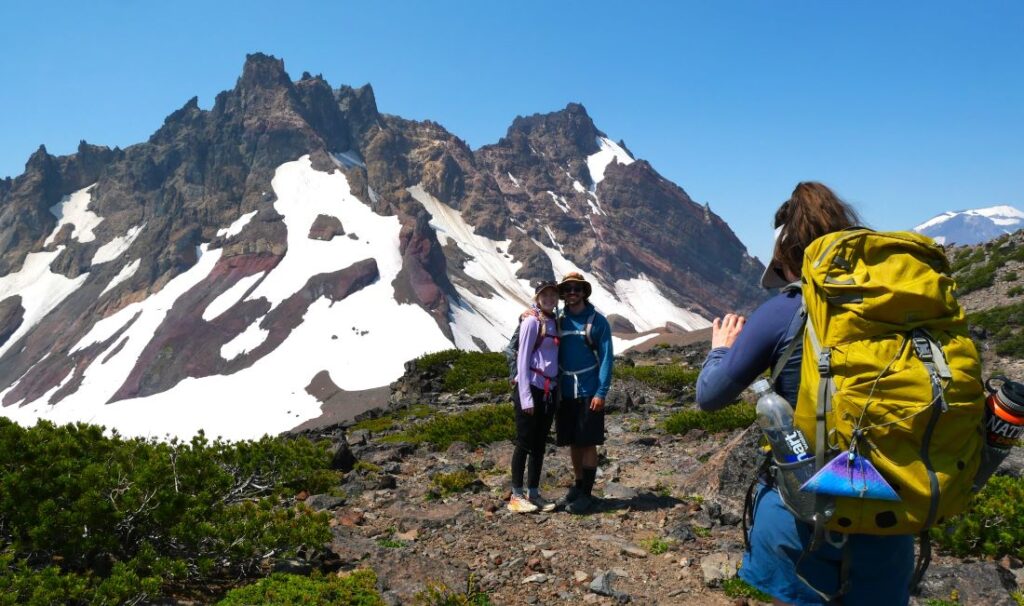
The Tam McArthur Ridge Tailhead starts at Three Creeks Lake and climbs up the ridge as the views improve and the trees become thin.
As you climb, the views get better and better, until you are able to see the Three Sisters and Broken Top clearly.
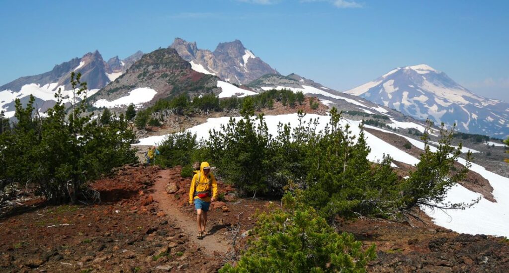
At 2.5-mile point, there is a viewpoint that can serve as a turn round spot. However, we recommend walking another 2.5 miles to No Name Lake for a total of 10 miles round-trip.
No Name Lake is a crispy turquoise alpine lake perfect for a cold dip on a hot day.
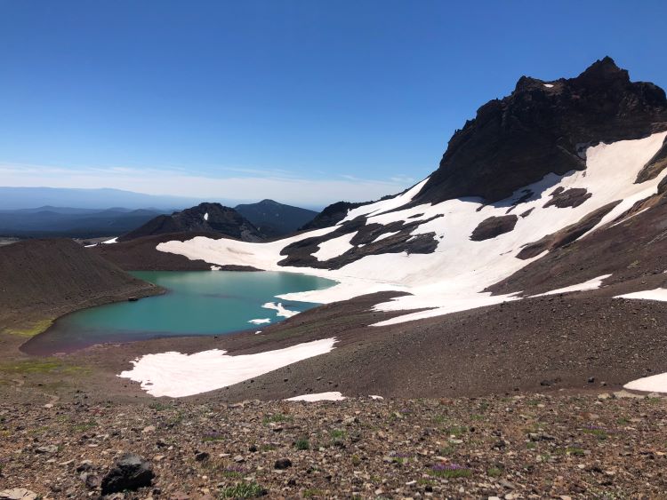
Overall, this is an excellent moderate to difficult hike near Sisters. Learn more in our full article about the Tam McArthur Rim Trail.
Smith Rock State Park
Smith Rock State Park is an iconic central Oregon landmark that has impressive rock formations, a variety of hiking trails, and memorable viewpoints.
Known for: Incredible rock formations and expansive views
Distance From Sisters: 40 minutes
Length: Variable
Elevation Gain: Variable
Difficulty: Variable
Permits/Fees: $5 day pass (can purchase onsite) or Oregon State Parks annual pass
Oregon State Parks Page: Link
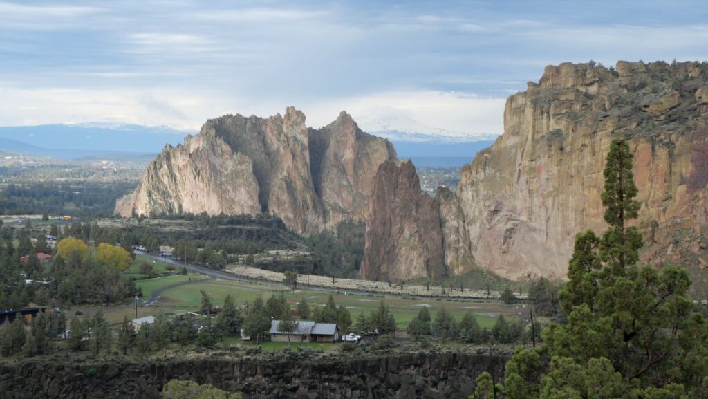
The main draw of Smith Rock is the incredible towering rock formations and variety of views within a relatively small area.
In addition, Smith Rock has a variety of hikes with a diversity of lengths and intensity.
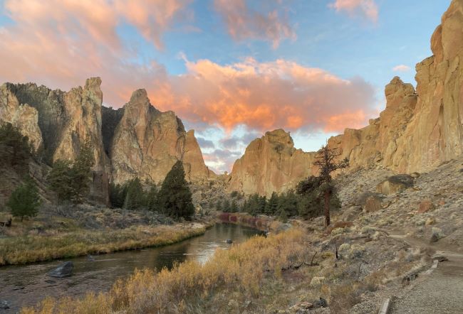
Perhaps the most popular hike is the Misery Ridge Loop, which is one of the most rewarding and popular hikes in central Oregon. We also like the Burma Loop Road, which takes you around the entire park.
Local Tip: Smith Rock is often crowded during weekends. Be sure to get there before 9:00 for the best chance of a parking spot. Also, grab some huckleberry ice cream at the shop on your way out of the park!
In our opinion, it’s a must visit destination. Check out our full article and guide video to Smith Rock.
Black Butte Trail
Black Butte Trail is a demanding yet rewarding hike 30 minutes north of Sisters. There are actually two variations of this trail.
Known for: Excellent views of the central Oregon landscape
Distance From Sisters: 30 minutes
Length: 4 miles (short version), 10 miles (long version)
Elevation Gain: 1,500 feet (short version), 3,400 feet (long version)
Difficulty: Moderate (short version), hard (long version)
Fees/Permits: Forest Service Recreation Fee Site
USFS Page: Link
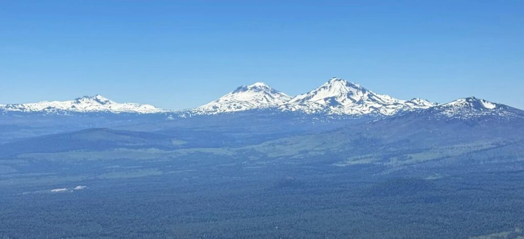
The short variation (4 miles with 1,500 feet elevation gain) starts from part way up Black Butte. In contrast, the long variation starts near the base of the mountain and is 10 miles with 3,400 feet of elevation.
Both routes have steep sections and are challenging, but reward hikers with excellent 360-degree views of Central Oregon and the Cascade Mountains.
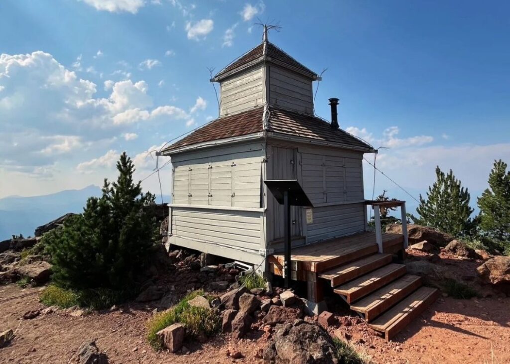
Overall, this is a popular hike near Sisters in the late spring, summer, and early fall.
Fun fact: Locals say that when all the snow on Black Butte is melted (usually around Mother’s Day in May) it is time to plant crops outdoors.
Black Crater Trail
The Black Crate Trail summits Black Crater and is known for its rugged lava rock landscapes and mountain views.
Known for: Steep hike with rewarding views
Distance From Sisters: 20 minutes
Length: 7 miles
Elevation Gain: 2,300 feet
Difficulty: Moderate to Hard
Fees/Permits: Free, self-issued at trailhead
USFS Page: Link
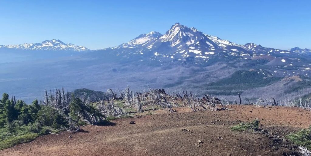
This epic trail passes through burned area for the first 3 miles or so before ascending through sparse but healthy forest at the top.
Overall, this is a lesser trafficked trail showcasing harsh landscapes of the high desert and beautiful mountain views characteristic of hiking sisters Oregon in general.
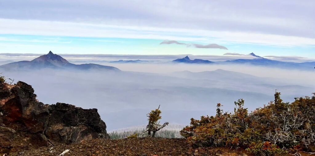
Local tip: There are lots of other cool hikes and viewpoints to explore nearby Black Crater along the McKenzie Highway. We recommend checking out the Dee Wright Observatory and any other pullouts that look interesting.
Keep in mind: The McKenzie Highway is open seasonally, typically from late June to November.
Belknap Crater Trail
Just down the road from Black Crater is Belknap Crater, a rugged and exposed 7-mile hike along the McKenzie Highway about 30 minutes from Sisters.
Known for: Rugged and exposed lava flows with unique views
Distance From Sisters: 30 minutes
Length: 7 miles
Elevation Gain: 1,800 feet
Difficulty: Challenging
Fees/Permits: Central Cascades Wilderness Permit
USFS Page: Link
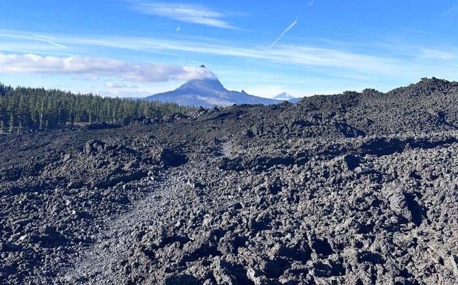
Hikers can explore lava fields surrounding two shield volcanoes, Belknap Crater and Little Belknap Crater.
Starting at the Pacific Crest Trailhead at McKenzie Pass, this hike is almost completely exposed with very little shade.
A short detour leads hikers to the summit of Little Belknap Crater, offering more stunning vistas. For a higher viewpoint, hikers can ascend to the summit of Belknap Crater.
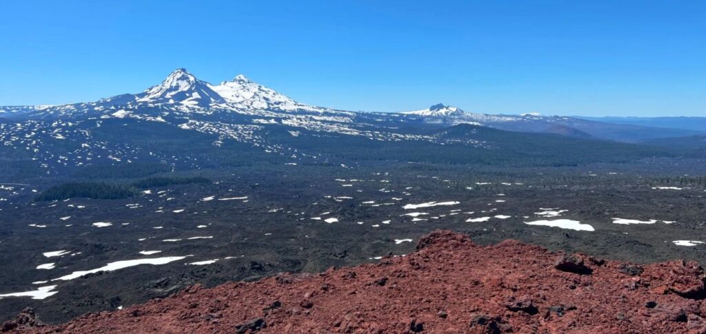
The hike features sharp, abrasive lava rocks, which many people say are unsuitable for dogs.
Overall, this hike near Sisters showcases lava fields and mountain views but is very exposed and best done of a cool or cloudy day.
Canyon Creek Meadows Loop (aka Canyon Glacier Trail)
The Canyon Creek Meadows Loop provides a glimpse into the Mt. Jefferson Wilderness as well as up-close views of Three Fingered Jack.
Known for: Wildflower meadows and unique views of Three Fingered Jack
Distance From Sisters: 40 minutes
Difficulty: Moderate
Length: 7.5 miles
Elevation Gain: 1,600 feet
Fees/Permits: Central Cascades Wilderness Permit
USGS Page: Link
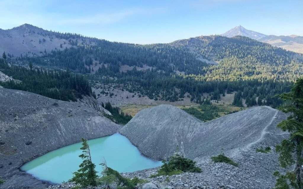
This hike starts at the Jack Lake Trailhead, which does require a Central Cascades Wilderness Permit for day use access between June 15 and October 15.
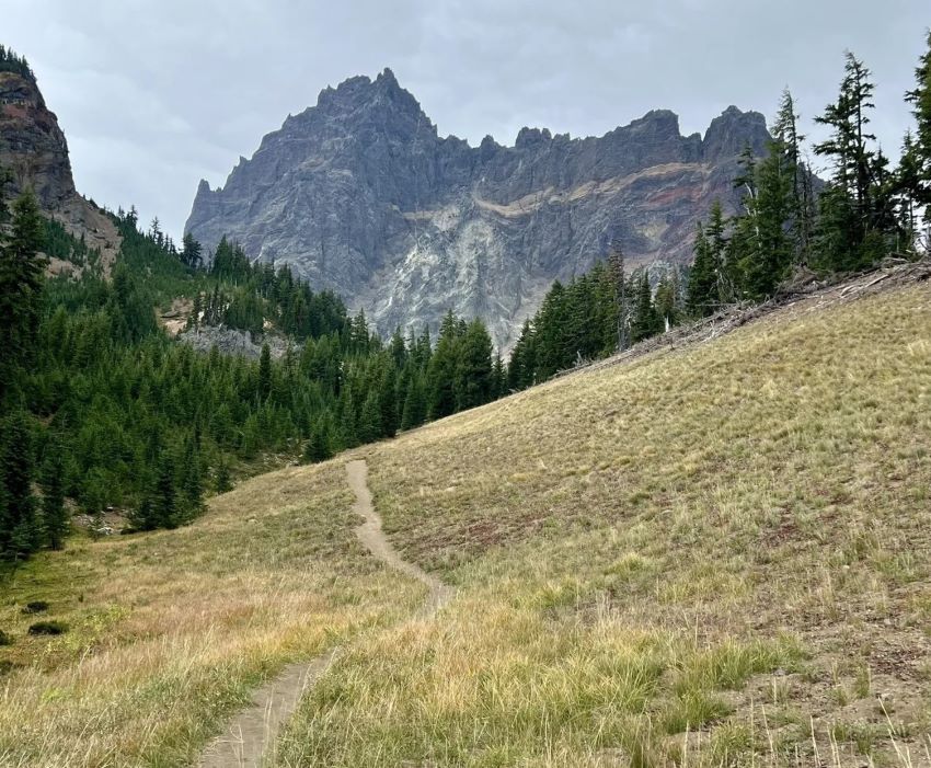
Besides the impressive rock formations of Three Fingered Jack, other highlights include beautiful wildflowers and a small turquoise alpine lake.
Local tip: You can even sometimes see mountain goats on this trail.
Chambers Lakes Basin Trail
Chambers Lakes Basin Trail begins at Pole Creek Trailhead 30 minutes west of Sisters. Hikers head southwest from the trailhead and ascend into the Chambers Lakes Basin in between Middle and South Sister.
Known for: Alpine lakes and up-close views of Three Sisters mountains
Distance From Sisters: 30 minutes
Length: 14 – 16 miles
Elevation Gain: 2,700 feet
Difficulty: Challenging
Permits/Fees: For day use: free self-issued Wilderness Permit
USFS Page: Link
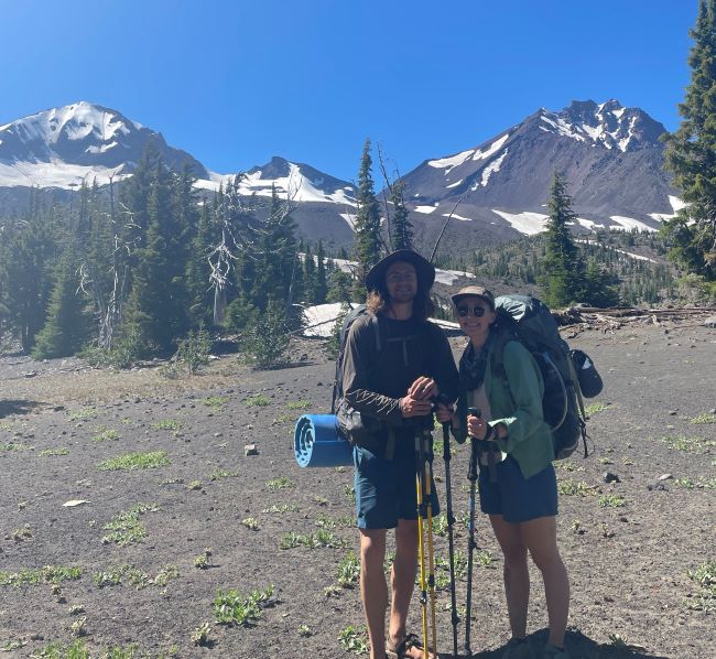
Starting at 5,300 feet, this trail is exposed for the first 3 miles in a burn area from the 2012 Pole Creek Fire.
Then, the remainder is semi-forested for the next 3 miles until rising above the tree line at around 7,000 feet.
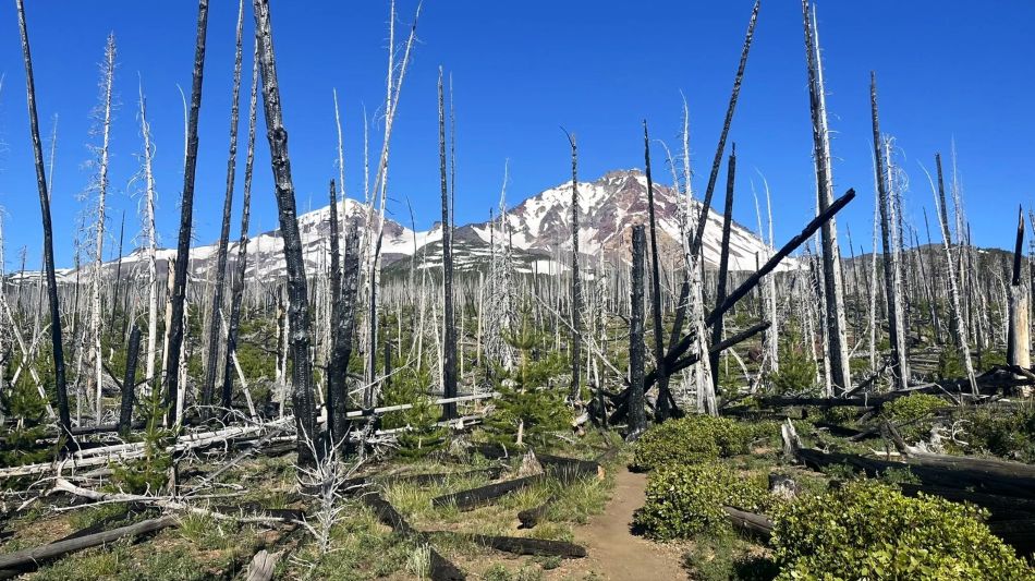
At the 7-mile mark, you arrive at Camp Lake, which is a great spot to have lunch, hang out, then turn around.
However, you can continue on another mile and 500 feet up a steep trail you get to a viewpoint exposing the stunning Chambers Lakes and more amazing views.
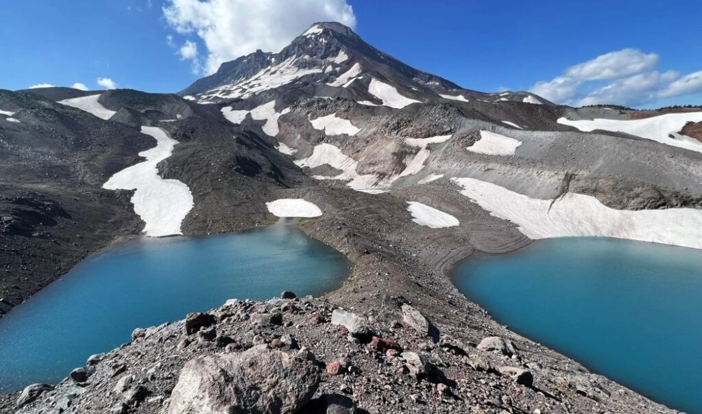
Overall, this trail is moderate until it becomes difficult at the steep section after Camp Lake. Most of the trail is exposed, so prepare accordingly.
Suttle Lake Loop Trail
Suttle Lake Loop is a pleasant 3.5-mile stroll around Suttle Lake, a medium sized lake that is surrounded by three lake-side campgrounds and Suttle Lodge (one of many great resorts in Central Oregon).
Known for: Pleasant lakeside loop with resort amenities
Distance From Sisters: 20 minutes
Length: 3.5 miles
Elevation Gain: Minimal
Difficulty: Easy
Permits/Fees: Recreation Fee Site
USFS Page: Link
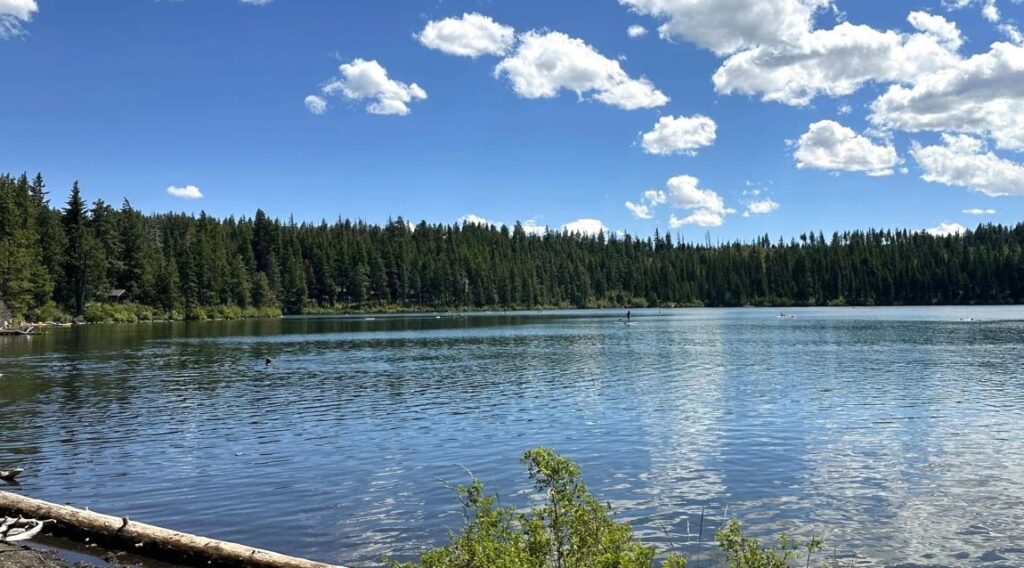
The lake itself is easy to access off of Highway 20 and has a day use area with picnic tables and an excellent swimming beach.
The trail around Suttle Lake is well maintained and flat. You pass through several campgrounds as well as Suttle Lodge, which has a restaurant and watercraft rentals.
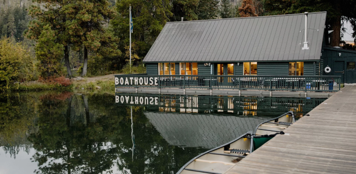
Local tip: We think Suttle Lake is one of the best lakes near Bend and definitely worth hanging out for the day.
Scott Trail Glacier Way Trail Loop
The Scott Trail Glacier Way Trail Loop is a challenging 14-mile loop about 40 minutes west of Sisters.
Known for: Great all around longer hike with views, lava flows, meadows, and forests
Distance From Sisters: 40 minutes
Length: 14 miles
Elevation Gain: 2,500 feet
Difficulty: Hard
Permits/Fees: Central Cascades Wilderness Permit, Recreation Fee Site
USFS Page: Link
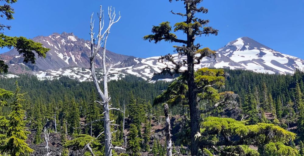
The hike starts at Obsidian Trailhead, and you can choose to go clockwise or counterclockwise.
This loop is a great all-around hike that has a bit of everything: nice mountain views, crisp streams, pleasant meadows, wildflowers, and unburned forests.
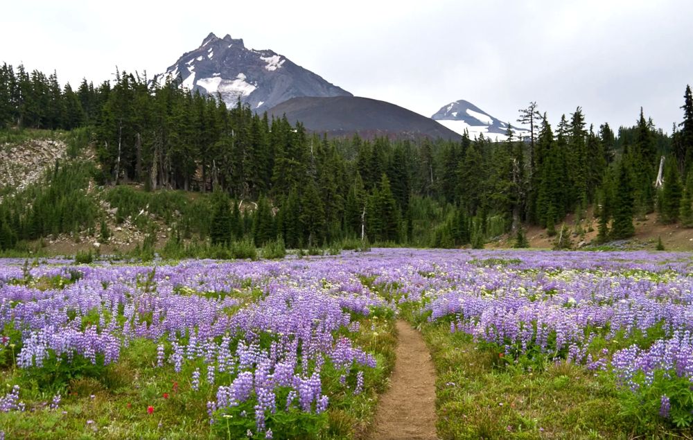
There are several optional “add-ons” to this hike if you feel like doing some extra miles, including Spring Lake, Yapoah Crater, Four in One Cone, or Collier Glacier.
Proxy Falls Trail Loop
Proxy Falls Trail Loop is around 2 miles long and is about 50 minutes from Sisters. There are actually two falls on this loop. Both are majestic and refreshing on a hot day.
Known for: Two great waterfalls and beautiful forested trail
Distance From Sisters: 50 minutes
Length: 2 miles
Elevation Gain: Minimal
Difficulty: Easy
Permits/Fees: Recreation Fee Site
USFS Page: Link
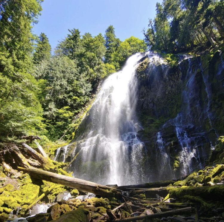
The Proxy Falls Loop is short and easy hike, which makes it a great hike for kids or to pair with another hike near Sisters to make a longer day.
The lower falls require a bit of scrambling to access the bottom, but nothing too intense. You can still see the lower falls without doing the scramble. The upper falls are easier to access.
Local tip: Fall is a great time to do this hike because the Vine Maples have brightly colored leaves.
Tamolitch Blue Pool Via McKenzie River Trail
Blue Pool is a must-do hike in the Willamette National Forest. One of the most popular hikes in the area, the main draw is Blue Pool itself which is absolutely stunning.
Known for: Stunning blue water and crispy clean river
Distance From Sisters: 45 minutes
Length: 4 miles
Elevation Gain: 350 feet
Difficulty: Moderate
Permits/Fees: No
USFS Page: Link
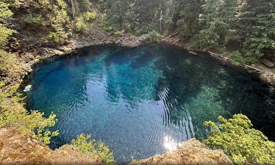
The trail is about 4 miles round trip, quite flat, and mostly forested, making this a great hike for a hot summer day.
The trail follows the beautiful McKenzie River, until reaching the unmistakable Blue Pool and Tomalitch Falls.
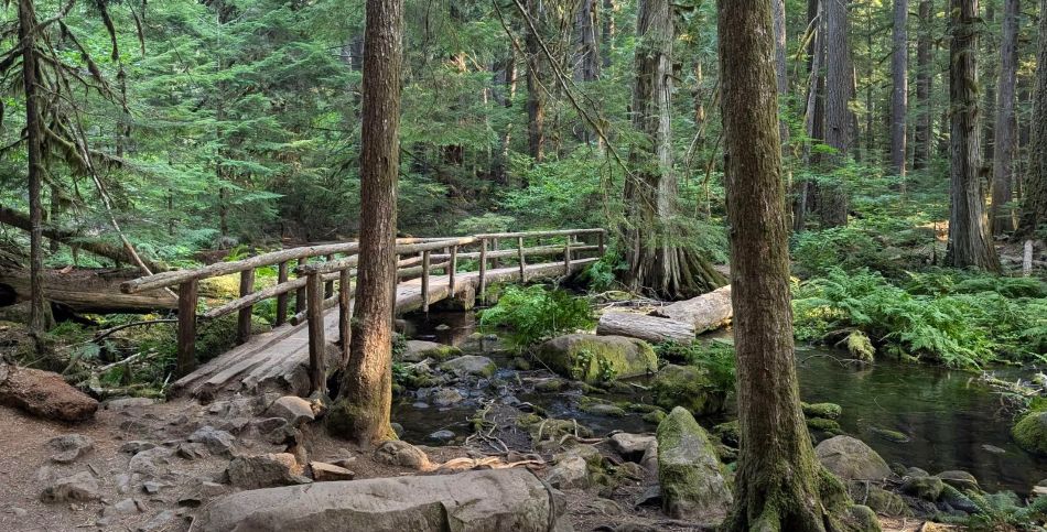
This trail gets crowded. We recommend arriving early on weekends to secure parking, as the lot can fill up quickly.
Despite the crowds, the scenic beauty and vibrant blue pool make this moderate hike well worth it and a must do at least once.
Koosah and Sahalie Falls Trail
The Koosah and Sahalie Falls Trail are two of the best waterfalls near Sisters Oregon and are accessible via a short and accessible trail.
Known for: Energetic waterfalls and a clear stream
Distance From Sisters: 40 minutes
Length: 2.5 miles
Elevation Gain: Minimal
Difficulty: Easy
Permits/Fees: No
USFS Page: Link
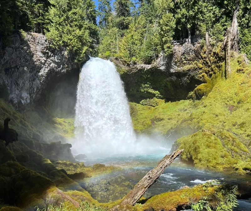
Start your hike close to Sahalie Falls from the small parking lot with restrooms. You can decide to do this 2.5-mile loop clockwise or counterclockwise.
Either way, you will see great views of the McKenzie River as well as Koosah Falls. In fact, you get to see both waterfalls from each side of the river, which is why they call this the Waterfalls Loop Trail.
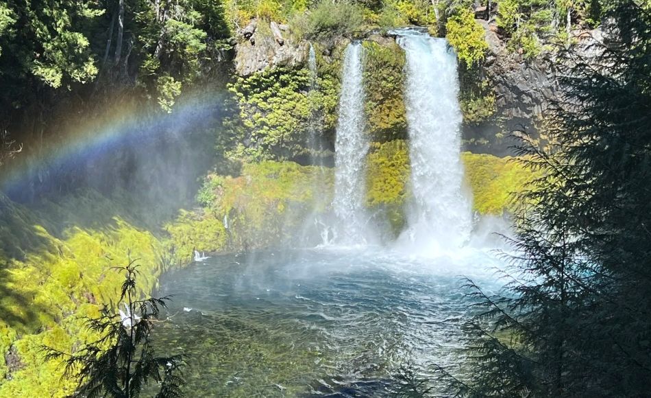
Be aware: This hike does get crowded on hot summer days, so be sure to arrive early for the best chance at parking.
Overall, this is a great hike on a hot day. Soak in the beautiful trail, clear river, and refreshing mist of the waterfalls.
More Hikes Near Sisters Oregon
If you’re willing to drive a bit further and perhaps plan a multi-day trip, there are lots of great areas to explore within a 3-hour drive.
Relatively close by, you have the beautiful Cascade Lakes Scenic Byway, which provides access to tons of trailheads. Also, the Newberry National Volcanic Monument is an underrated area.
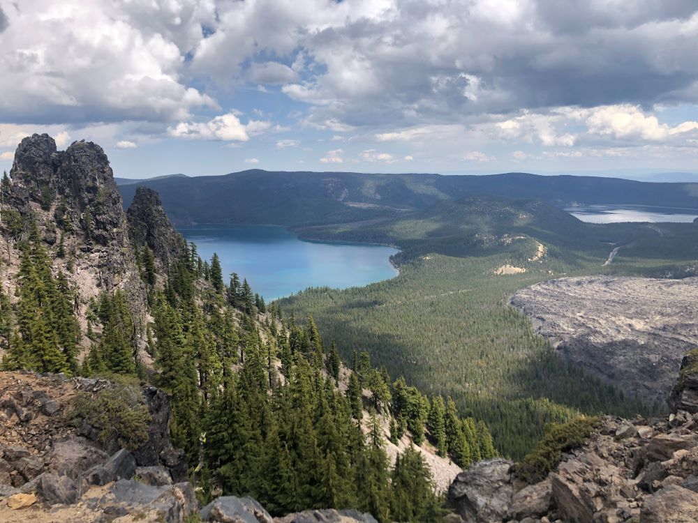
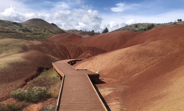
A bit further, you can access the stunning Painted Hills and other areas in the John Day Fossil Beds. Also within 2 hours is Silver Falls State Park, which has some of the best waterfalls in Oregon.
Backpacking Sisters Oregon
A multi-day hike is a great way to have a more immersive experience in nature. Fortunately, there are some great trails for backpacking near Sisters Oregon.
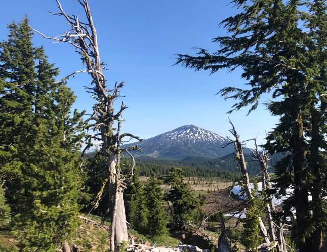
There are lots of loop options available within the Three Sisters Wilderness. Many of the better areas require an overnight Central Cascades Wilderness Permit.
Learn more in our full article about the best backpacking trails near Bend.
Other things to Consider When Hiking Near Sisters
These tips about hiking Sisters Oregon will help you have a memorable and safe adventure.
Best Time of Year for Hiking in Central Oregon
You can enjoy hiking near Sisters Oregon year-round, and each season has its own advantages and things to keep in mind.
| Season | Temperatures in Sisters (degrees F) | Advantages | Considerations |
| Spring | Highs: 50s and 60s Lows: 20s and 30s | – Wildflowers – Vibrant landscapes – Snow on mountains – Great sunsets – Less crowded | – Snow at high elevations – Potential road closures – Mosquitos are bad |
| Summer | Highs: 70s and 80s Lows: 40s and 50s | – Snow-free trails – Warm temperatures – Swimming in lakes – Longer days | – More crowds – Some permits required – Can be hot |
| Fall | Highs: 40s to 70s Lows: 20s and 30s | – Stunning fall colors – Great for photography | – Unpredictable weather – Some snow |
| Winter | Highs: 30s and 40s Lows: 20s | – Unique snowy scenery – Snowshoeing and winter hiking – Quieter trails | – Cold weather – Snow on trails – Check trail conditions |
Keep in mind those temperatures are for Sisters. Temperatures for hiking near Sisters will be colder at higher elevations.
Prepare for the Weather
Central Oregon’s high desert climate can change up to 50 degrees Fahrenheit between the highs and the lows.
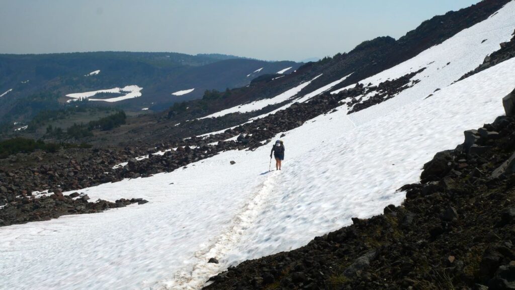
This means a hot day can turn into a frigid night once the sun goes down. For this reason, we recommend bringing extra layers even during a hot summer day.
Bring Extra Water
Just bring extra water on your hike. The hot dry summer days can be no joke and will dehydrate you quickly. Don’t get caught out on a hot dusty trail without enough water! A water filter is also a good idea for longer hikes.
Get a Permit (If Needed)
Many hikes near Sisters require a permit. Be sure to check if one is required at the trailhead you utilize.
Some of the more popular areas require a Day Use Central Oregon Cascade Wilderness Permit is required for day hiking in many areas. Others require a Forest Service Recreation Fee which requires a 5$ day pass.
Conclusion
We hoped you found this guide to hiking Sisters Oregon helpful. These hikes near Sisters are truly spectacular and are worth adding to the to-do list.
Interested in learning more about hiking in Central Oregon? Check out our full guide to hiking in Central Oregon and the best day hikes near Bend.
We try to provide high value content to help you explore Central Oregon, a wonderful corner of the world we call home. Don’t miss our other articles about Central Oregon.

